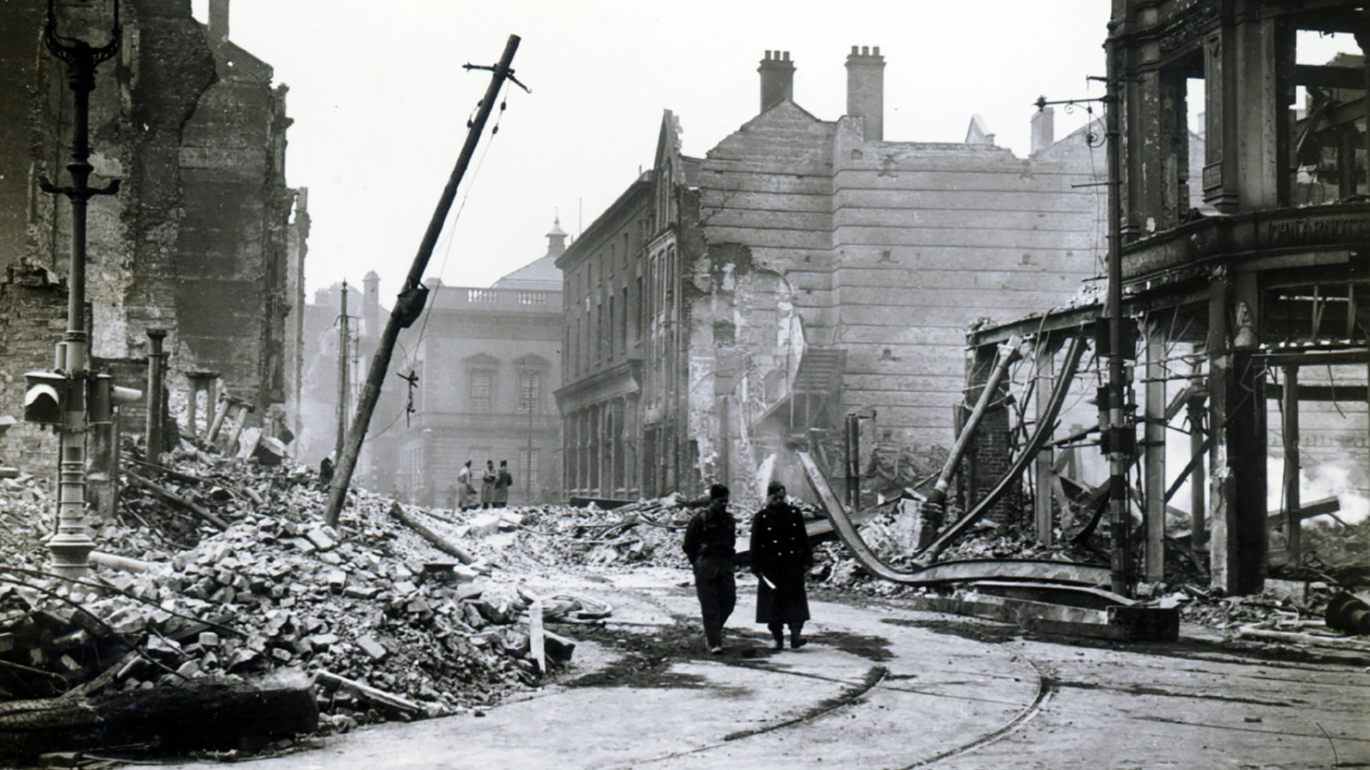
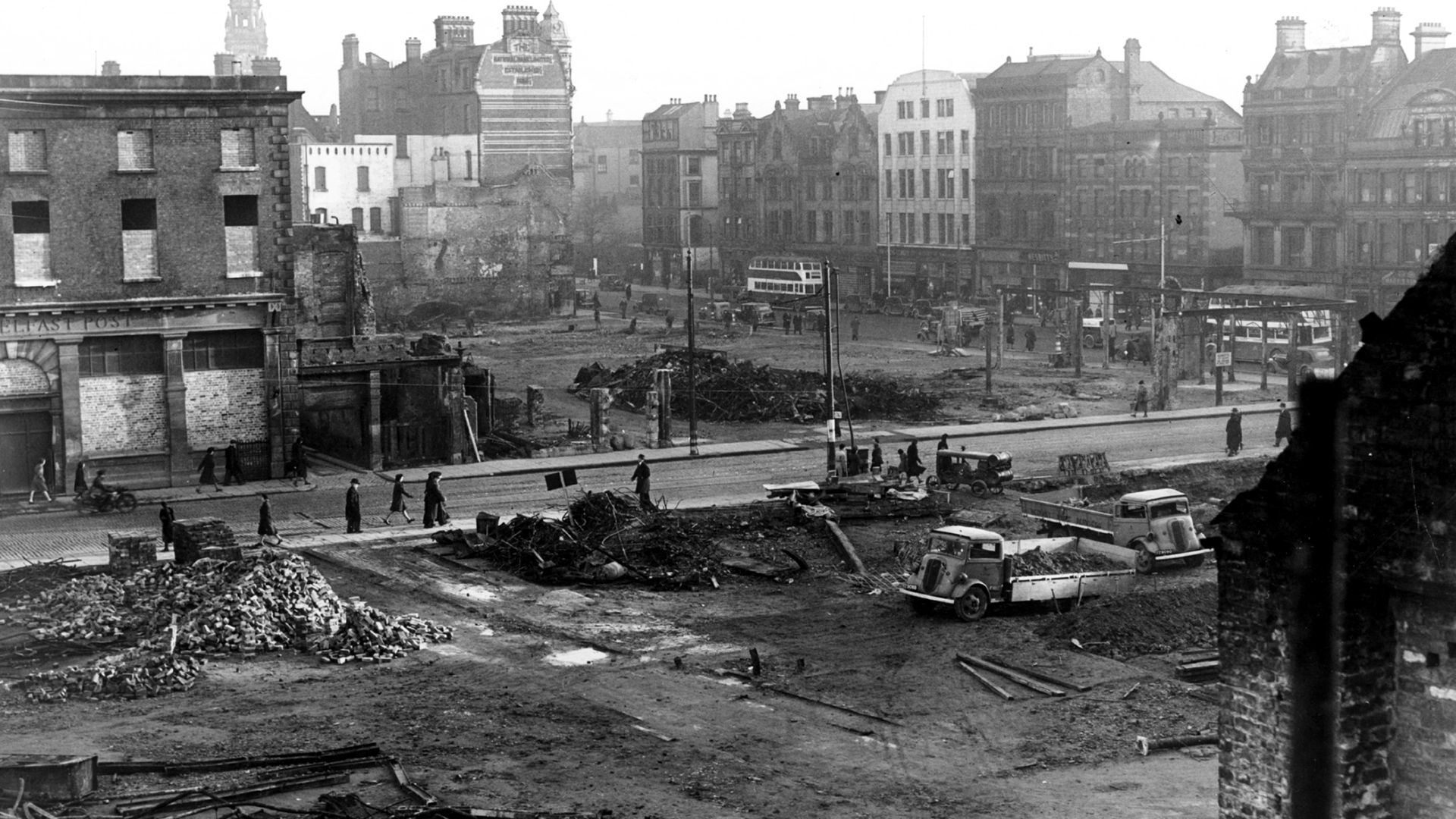
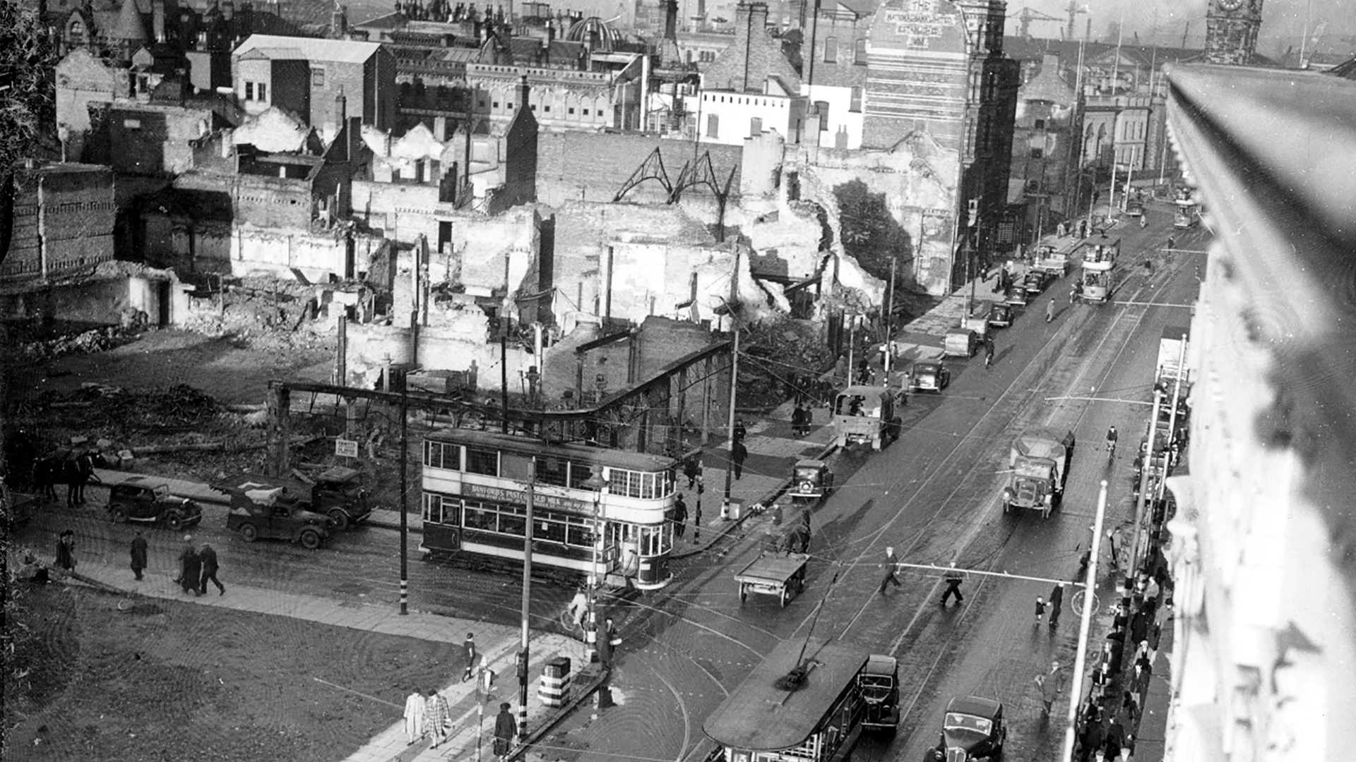
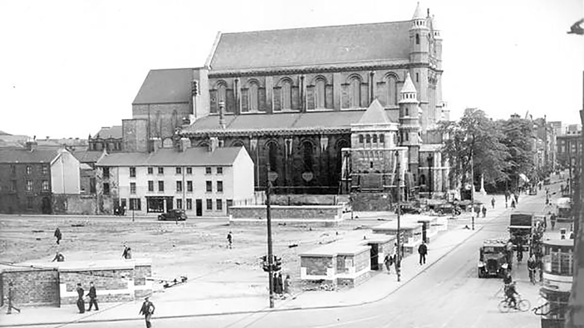
Areas affected by the Luftwaffe bombs in 1941
The following areas sustained great damage during the Belfast Blitz raids that occurred on 15th-16th April 1941 and 4th-5th May 1941.
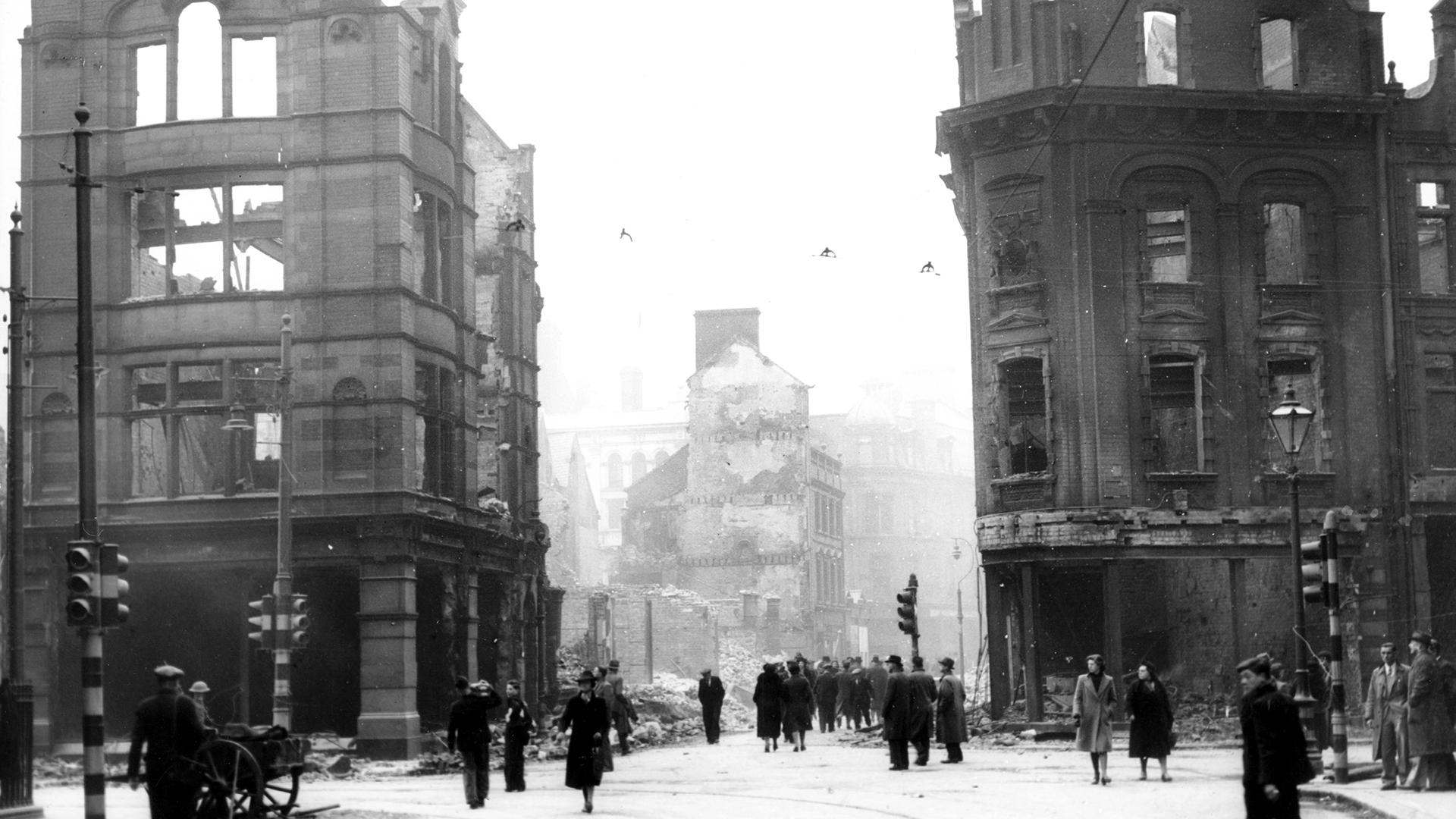
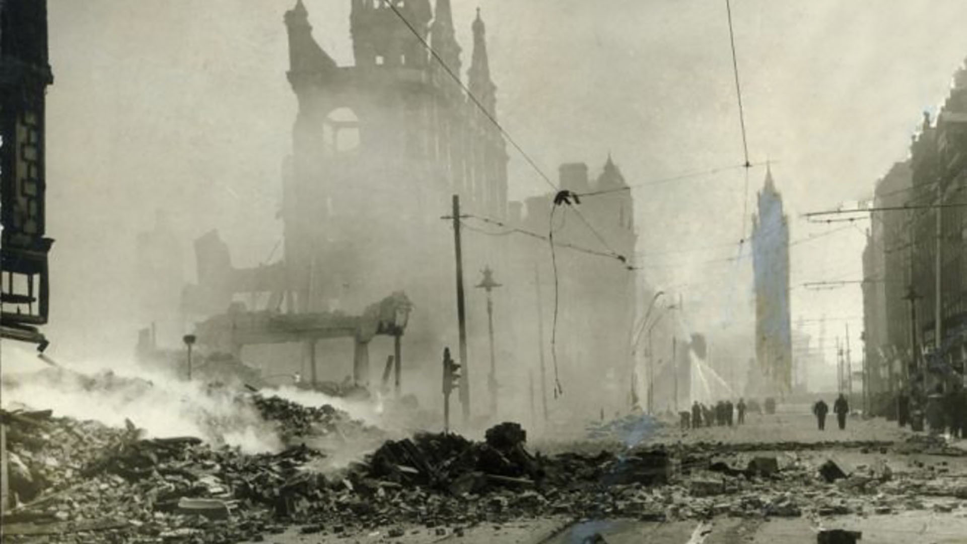
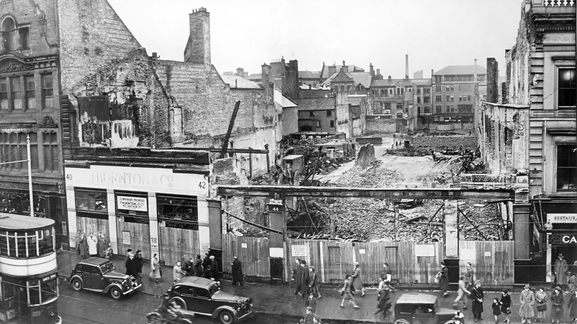
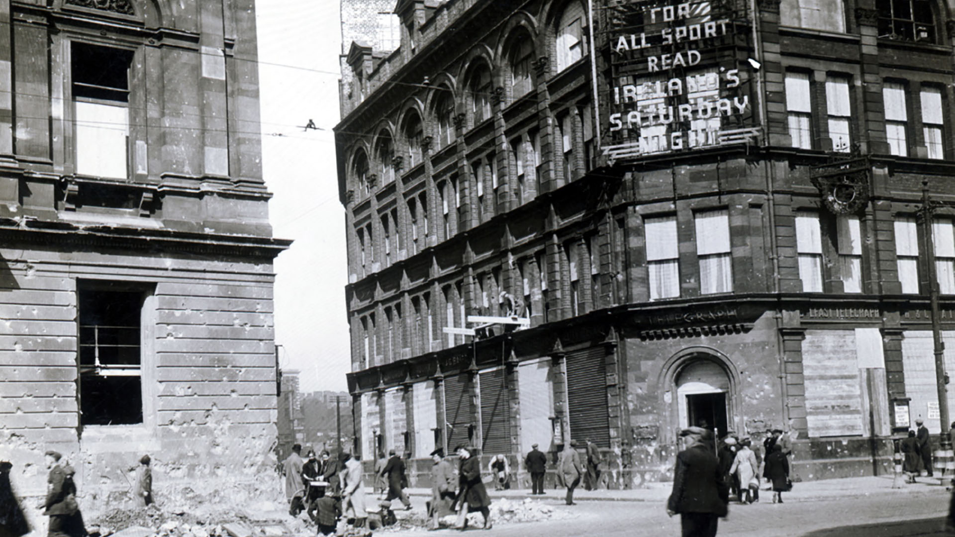
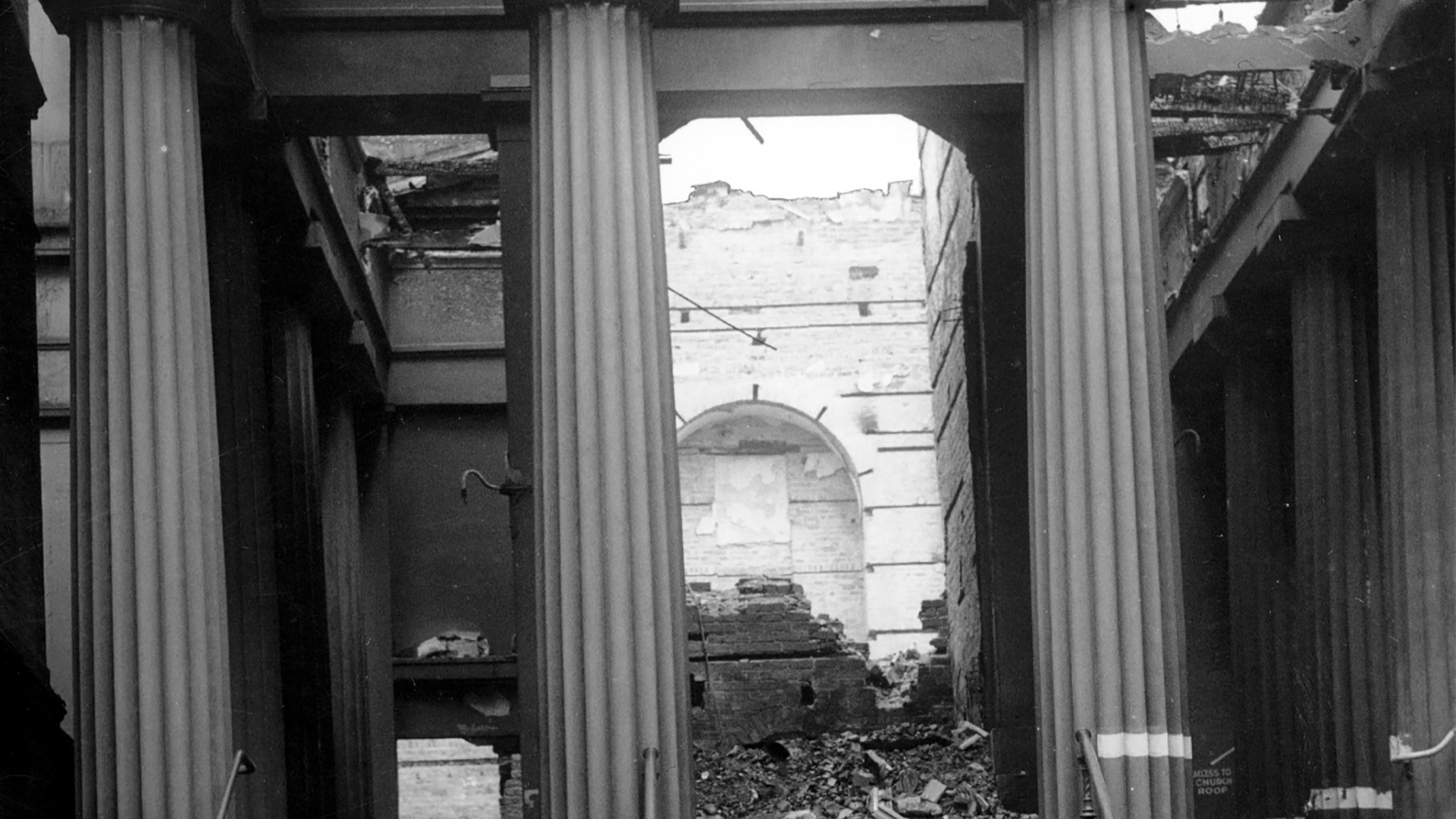
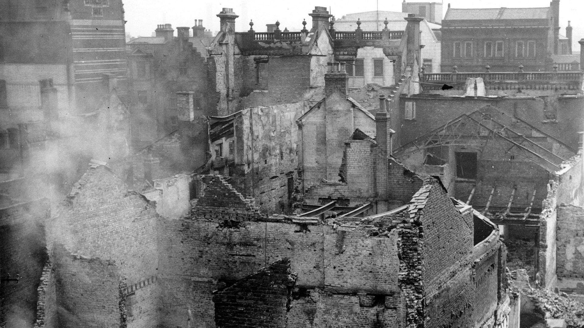
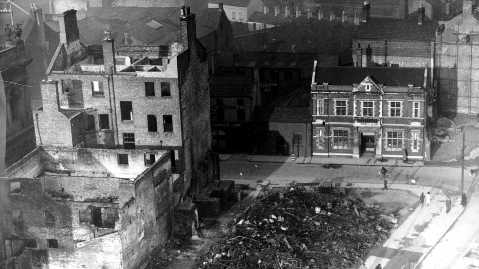
Bombs on Belfast City Centre
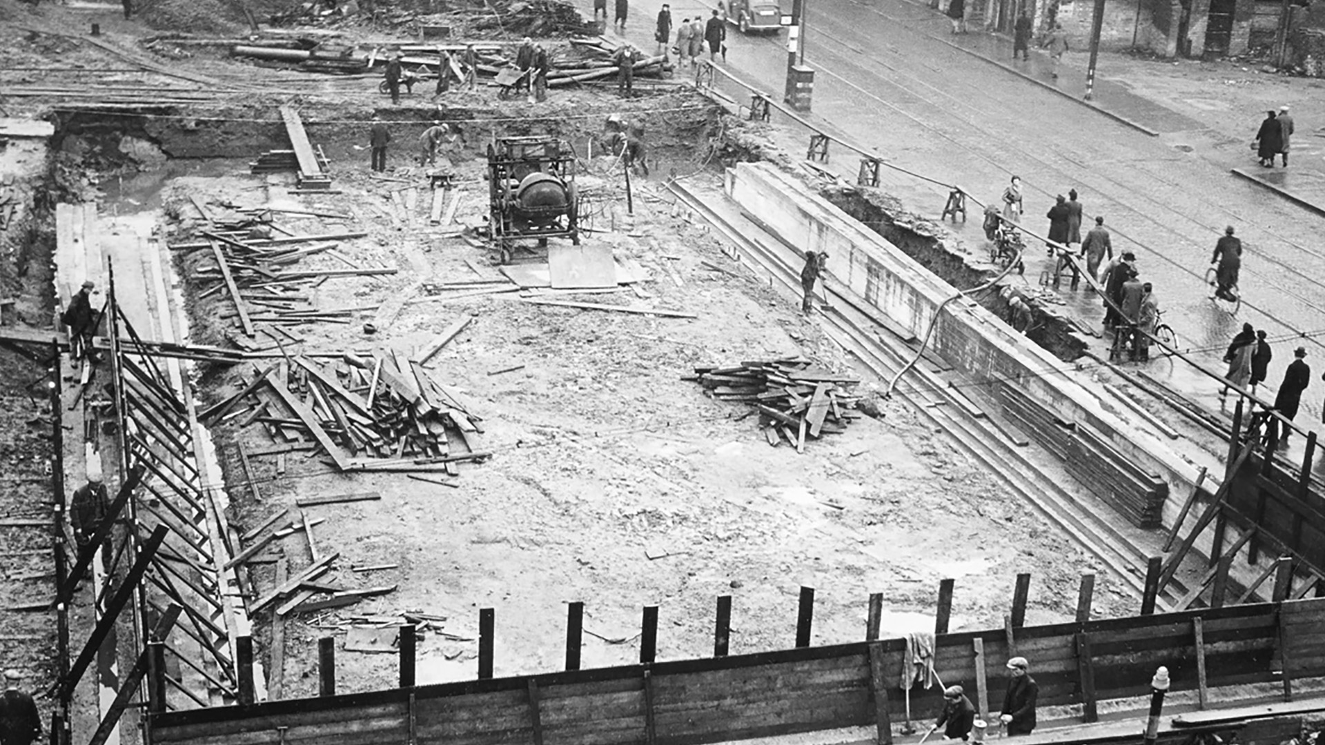
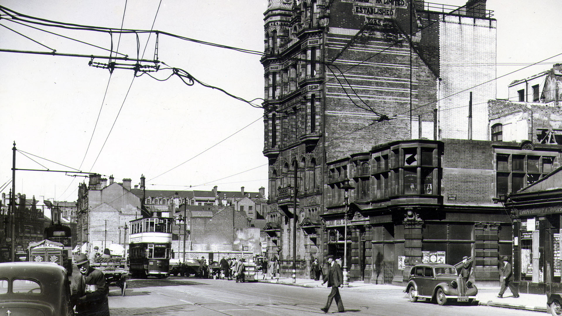
Images captured by Belfast Telegraph photographers in the aftermath of the Belfast Blitz.